
The Elon Public Land Use viewer will allow you to research land use and tax information about properties within Elon and its ETJ. Information is available through pull down folders to the left of the map and shown when individual parcels are selected. https://maps.regisnc.org/portal/apps/sites/#/elon-public
For further questions, please call Jenna Peterson at 336-586-1014
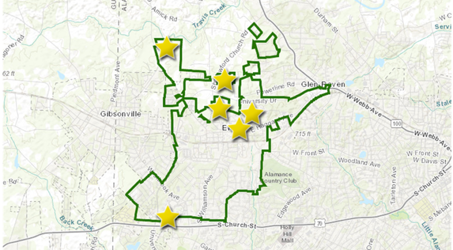
The Town of Elon Developments Map is available to the public for information access and assistance with planning efforts. Users will be able to see basic information on new development projects and ongoing construction within town limits.
Information Available on This Map
- Location
- Development name and type
- Approval status
- Applicant name
- Land Use and Zoning Type
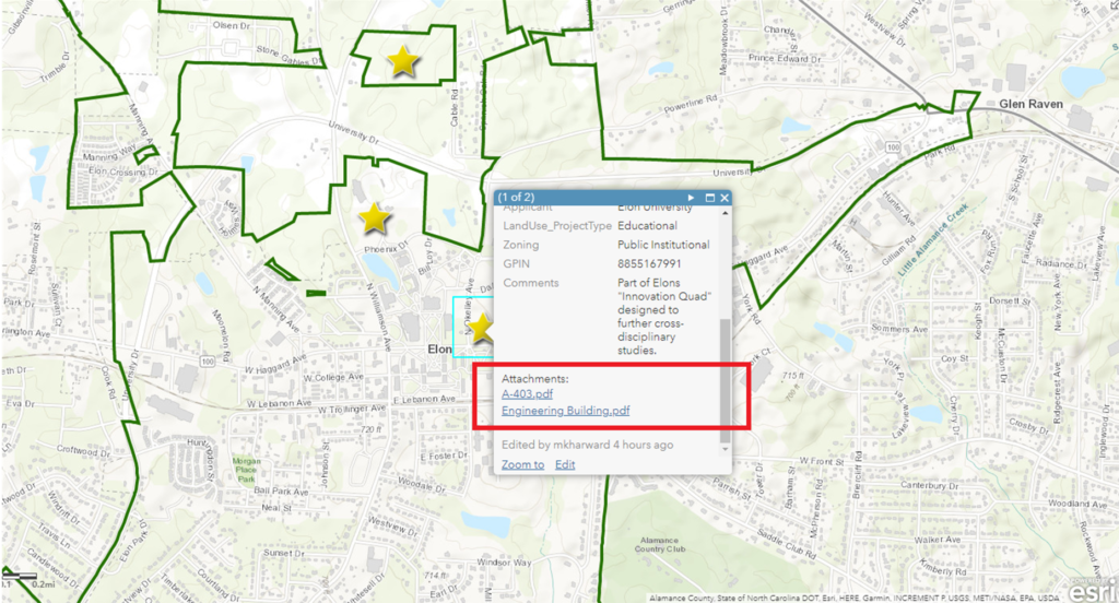
- GPIN
- Downloadable site plan
Navigating the Map
Use the cursor to select a star on the map to see information and attached site plan/development documents.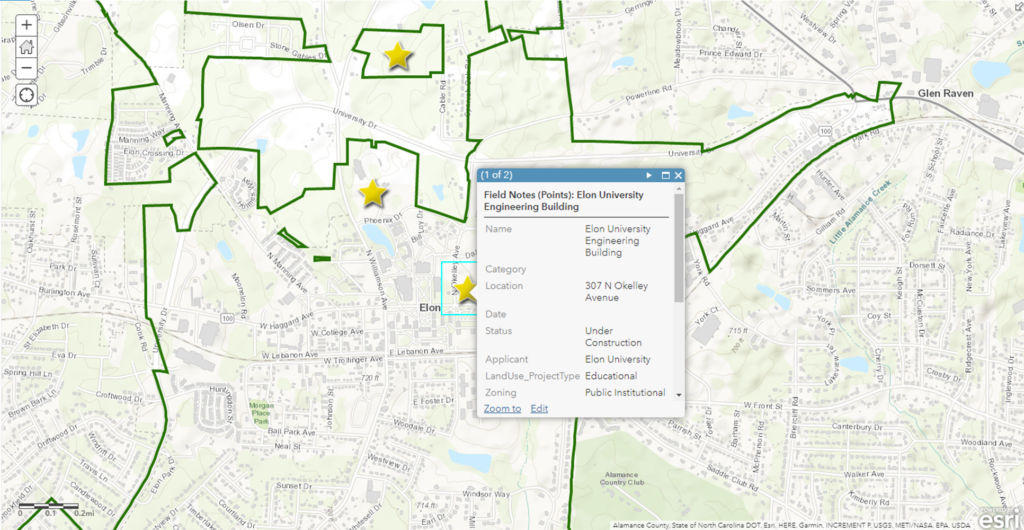
Click and drag to pan around the map.
Map Features
| About: This tab shows general information about the public, such as owners and publication dates. |
| Content: This tab shows the layers and data used to make the map |
| Legend: This tab shows the legend for the map |
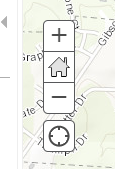 |
| Use this tool to zoom in an out of the map. |
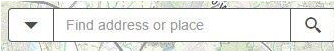 |
| Use this tool bar to search for specific addresses on the map. |
A video tutorial can be viewed below.